

 Wroxeter, Shropshire
 Dow Bridge
 High Cross, Warwickshire
 Watling Street
 Watling Street 1b Canterbury to Rochester
 Watling Street 1a Dover to Canterbury
 Watling Street 1d Marble Arch to St Albans
 Watling Street 1h Wall to Wroxeter
 Watling Street 1e St Albans to Towcester
 Watling Street 1f Towcester to High Cross
 Watling Street 1g High Cross to Wall
 Watling Street 10 Richborough to Canterbury
Watling Street is in Roman Roads.
Watling Street was a major Roman Road that travels from the Kent ports broadly north-west through London and St Albans, Hertfordshire [Map] to Viroconium Cornoviorum [Map]. Significant parts of Watling Street remain now being known as the A5.
Watling Street is number 1 in 'Roman Roads of Britain' by Ivan D Margary.
Dow Bridge [Map] is where Watling Street crossed the Warwickshire River Avon.
In the Roman Period High Cross, Warwickshire [Map] was known as Venonae. It was an important settlement being the crossing point of two major Roman Roads Watling Street and the Fosse Way.
Watling Street. From Durobrivae [Map] the road continues through Park Pale, Kent [Map], Vagniacis [Map], Dartford, Kent [Map], Noviomagus [Map], Bexley, Kent [Map], down Shooter's Hill, Greenwich [Map] past Eltham Common, Kent [Map] to Greenwich Park [Map] where the road either (or both):
1. went along the Old Kent Road [Map] and crossed the River Thames at either the London Bridge [Map] or a ford near Westminster Bridge [Map] after which it continued north past St Mary-le-Bow Church, Cheapside [Map], Newgate Gate [Map], Ludgate Hill [Map] and over the River Fleet at Fleet Bridge [Map] to Marble Arch [Map].
2. continued north-west through Camberwell, Surrey [Map] crossing the River Thames near Vauxhall Bridge [Map] after which it continued north to Marble Arch [Map].
Watling Street 1b Canterbury to Rochester. From Durovernum [Map] the road continues in a north-east direction through Upper Harbledown, Kent [Map], Boughton Street, Kent [Map], Durolevo [Map], Key Street, Kent [Map], Gillingham, Kent [Map] to Durobrivae [Map] where it crosses the River Medway.
Watling Street 1a Dover to Canterbury. From the main Roman port of Portus Dubris [Map] to Durovernum [Map] via Kearnsey, Kent [Map], Lydden Hill, Kent [Map], Bridge, Kent [Map], and Renville, Kent [Map].
Watling Street 1d Marble Arch to St Albans. From Marble Arch [Map] Watling Street continues north-west along the Edgeware Road, Maida Vale [Map], Cricklewood [Map], Sulloniacis [Map], Radlett, Hertfordshire [Map], Park Street, Hertfordshire [Map] to Verulamium, Hertfordshire [Map] aka St Albans.
Watling Street 1h Wall to Wroxeter. From Letocetum, Staffordshire [Map] aka Wall Watling Street travels through Muckley Corner, Staffordshire [Map], Brownhills West, Staffordshire [Map], Norton Canes, Staffordshire [Map], Four Crosses, Staffordshire [Map], Gailey, Staffordshire [Map], Pennocrucium, Staffordshire [Map], Weston-under-Lizard, Staffordshire [Map], Uxacona, Staffordshire [Map], Oakengates, Shropshire [Map], Ketley, Shropshire [Map], Overley Hill, Shropshire [Map] ending at Viroconium Cornoviorum [Map] aka Wroxeter.
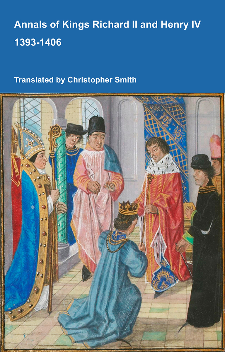
Annals of Kings Richard II and Henry IV 1393-1406
The Annals of Kings Richard II and Henry IV offers a vivid contemporary account of one of the most turbulent periods in late medieval England. Covering the reigns of Richard II and Henry IV, the chronicle records royal ceremonies, political conflict, rebellion, war, taxation, religious controversy, executions, popular unrest and remarkable portents. Its pages include a detailed description of Richard II’s coronation, the fall and deposition of the king, Henry IV’s seizure of the throne, the Percy rebellion, the execution of Archbishop Richard Scrope, the campaigns of Owain Glyndŵr, and England’s relations with Scotland, France, Portugal and Scandinavia. Alongside affairs of state, the annalist preserves reports of miracles, eclipses, prophecies, supernatural events and the experiences of ordinary townspeople, clergy, soldiers and travellers. Written from a monastic perspective, the work combines political observation with moral judgement, presenting victories and disasters as evidence of divine favour or punishment. At once a historical record and a reflection of medieval belief, the Annals provides an invaluable window into the challenges, ceremonies and conflicts of England at the turn of the fifteenth century.
Available at Amazon in eBook and Paperback format.
Watling Street 1e St Albans to Towcester. From Verulamium, Hertfordshire [Map] aka St Albans Watling Street continues north-west through Redbourn, Hertfordshire [Map], Friars Wash, Hertfordshire [Map], Durocobrivis [Map], Hockcliffe, Bedfordshire [Map], Little Brick Hill, Buckinghamshire [Map], Kelly's Kitchen Roundabout [Map], Magiovinium [Map] aka Dropshort, Stony Stratford, Buckinghamshire [Map] and Lactodorum [Map].
Watling Street 1f Towcester to High Cross. From Lactodorum [Map] Watling Street continues north-west through Weedon, Northamptonshire [Map], Bannaventa [Map], Watford Gap, Northamptonshire [Map], Dunsmore Hill [Map], Tripontium, Warwickshire [Map] to Venonae [Map].
Watling Street 1g High Cross to Wall. From Venonae [Map] Watling continues north-west through Manduessedum [Map], Atherstone, Warwickshire [Map], Quarry Hill Tamworth [Map], Fazeley, Staffordshire [Map], Bonehill, Staffordshire [Map], Weeford Interchange [Map] to Letocetum, Staffordshire [Map] aka Wall.
Watling Street 10 Richborough to Canterbury. Rutupiae [Map], Reculver, Kent [Map], Portus Lemanis [Map] to Durovernum [Map]. This route wasn't included in Margery's scheme for Watling Street.