Europe, British Isles, England, Welsh March, Herefordshire, Leintwardine [Map]
Leintwardine, Herefordshire is in Herefordshire.
Around 200AD. Bravinium Roman Station [Map] on the XII Antonine Iter, 22 M.P. from Magnis (Kenchester) and 27 M.P. from Uriconium (Wroxeter [Map]). The Roman site forms a roughly rectangular area with an internal extent of about 10 acres, formerly enclosed by earth banks but these are now partly obliterated by the village which occupies much of the area.
1086. Domesday Leintwardine. Land of Picot (of Sai).
Land and resources: Ploughland: 2 ploughlands.
Valuation: Annual value to lord: 5 shillings in 1086.
Owners: Tenant-in-chief in 1086: Picot (of Sai).
Lord in 1086: Fulco (of Le Pin).
1086. Domesday Leintwardine. Land of Ralph of Mortimer (age 17)Domesday Leintwardine.
Households: Households: 15 villagers. 11 smallholders. 5 slaves. 1 priest. 11 other.
Land and resources: Ploughland: 14 ploughlands. 4 lord's plough teams. 10 men's plough teams.
Other resources: Woodland 1 leagues. 1 mill, value 6 shillings and 7 pence. 1 church.
Valuation: Annual value to lord: 4 pounds in 1086; 1 pound 10 shillings when acquired by the 1086 owner; 2 pounds in 1066.
Owners: Tenant-in-chief in 1086: Ralph of Mortimer (age 17). Lords in 1086: Ralph of Mortimer; man-at-arms, one. Lord in 1066: King Edward.
1086. Leintwardine, Herefordshire [Map] is listed in the Domesday Book of 1086 as "Lenteurde", and was recorded as being a large settlement for its time. Its name is apparently derived from the Celtic name for the River Teme – formerly known as the Lent which means simply 'torrent, stream'.
Domesday Leintwardine. 1086. Leintwardine [Map] was a settlement in Domesday Book, in the hundred of Leintwardine, mentioned in the chapters for Herefordshire and Shropshire. It had a recorded population of 43 households in 1086, putting it in the largest 20% of settlements recorded in Domesday, and is listed under 2 owners in Domesday Book.
On 15 Jan 1833 Banastre Tarleton 1st Baronet (age 78) died at Leintwardine, Herefordshire [Map]. Baronet Tarleton of Liverpool in Lancashire extinct.
The River Teme rises around three miles south of Dolfor [Map] in Powys. For much of its upper course it forms the border between England and Wales. It passes through, or near, Felindre, Radnoshire [Map], Knighton, Radnorshire [Map], Leintwardine, Herefordshire [Map], Bromfield, Shropshire [Map], Ludlow, Shropshire [Map], Tenbury Wells, Worcestershire [Map], Stanford Bridge, Worcestershire [Map], Shelsey Beauchamp, Worcestershire [Map], Leigh, Worcestershire [Map] and Bransford, Worcestershire [Map] after which it joins the River Severn around 3 km south of Worcester, Worcestershire [Map].
The River Clun rises near Anchor, Shropshire [Map], 400m from the England and Wales border, after which it travels past Hall in the Forest, Clun [Map], Clun Castle [Map] and NO IMAGE [Map] before joining the River Teme at Leintwardine, Herefordshire [Map].
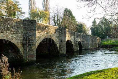
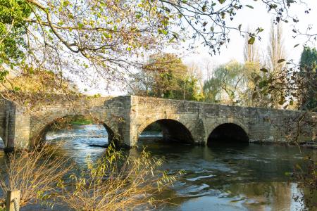
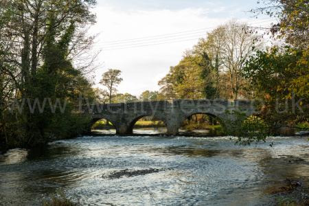
Europe, British Isles, England, Welsh March, Herefordshire, Leintwardine Bridge [Map]
Leintwardine Bridge, Herefordshire [Map] crosses the River Teme just below its confluence with the River Clun. Originally the crossing point of a Roman Road known locally as Watling Street; a spur or extension of the Welsh Border Road which terminated at Wroxeter, Shropshire [Map] around thirty-five kilometres north of Leintwardine, Herefordshire [Map] and which may have connected Wroxeter to Usk, Monmouthshire [Map]. The current bridge is around 1850 widened by twelve feet in 1930.


Welsh Border Road describes an unamed Roman Road, and unnumbered by Margery, that went from Caerleon [Map] to Wroxeter, Shropshire [Map], passing through Usk, Monmouthshire [Map], Abergavenny, Monmouthshire [Map], Hereford [Map], Mortimer's Cross, Herefordshire [Map], Wigmore, Herefordshire [Map] and Leintwardine Bridge, Herefordshire [Map] where it crosses the River Teme just after its convergence with the River Clun.